SAEDNEWS: Created by Ottoman admiral Piri Reis in 1513, the surviving fragment of this world map continues to fascinate historians because it preserves rare information about early Atlantic exploration while leaving unanswered questions about its lost sources.
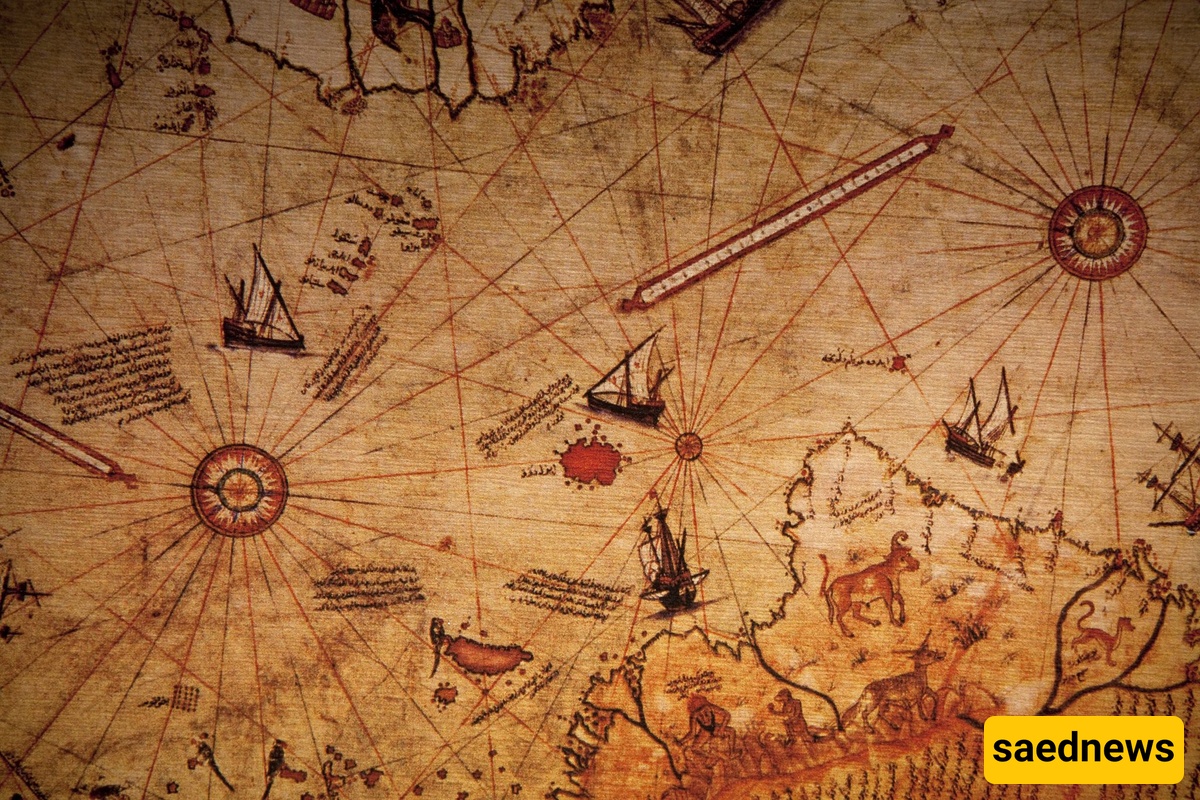
According to SaedNews, Few historical objects create as much curiosity as the Piri Reis Map, a colorful parchment chart created in the Ottoman Empire more than 500 years ago. At first glance, it appears to be a navigation tool from the Age of Discovery. But behind its detailed coastlines, handwritten notes, and unusual illustrations lies a mystery that has attracted historians, cartographers, and even conspiracy theorists for decades.
The map was created in 1513 by Ottoman admiral and cartographer Piri Reis, whose real name was Muhiddin Piri. Only a fragment of the original world map survives today, preserved in Istanbul’s Topkapı Palace. The surviving section mainly shows parts of the Atlantic Ocean, western Africa, Europe, and the eastern coast of South America.
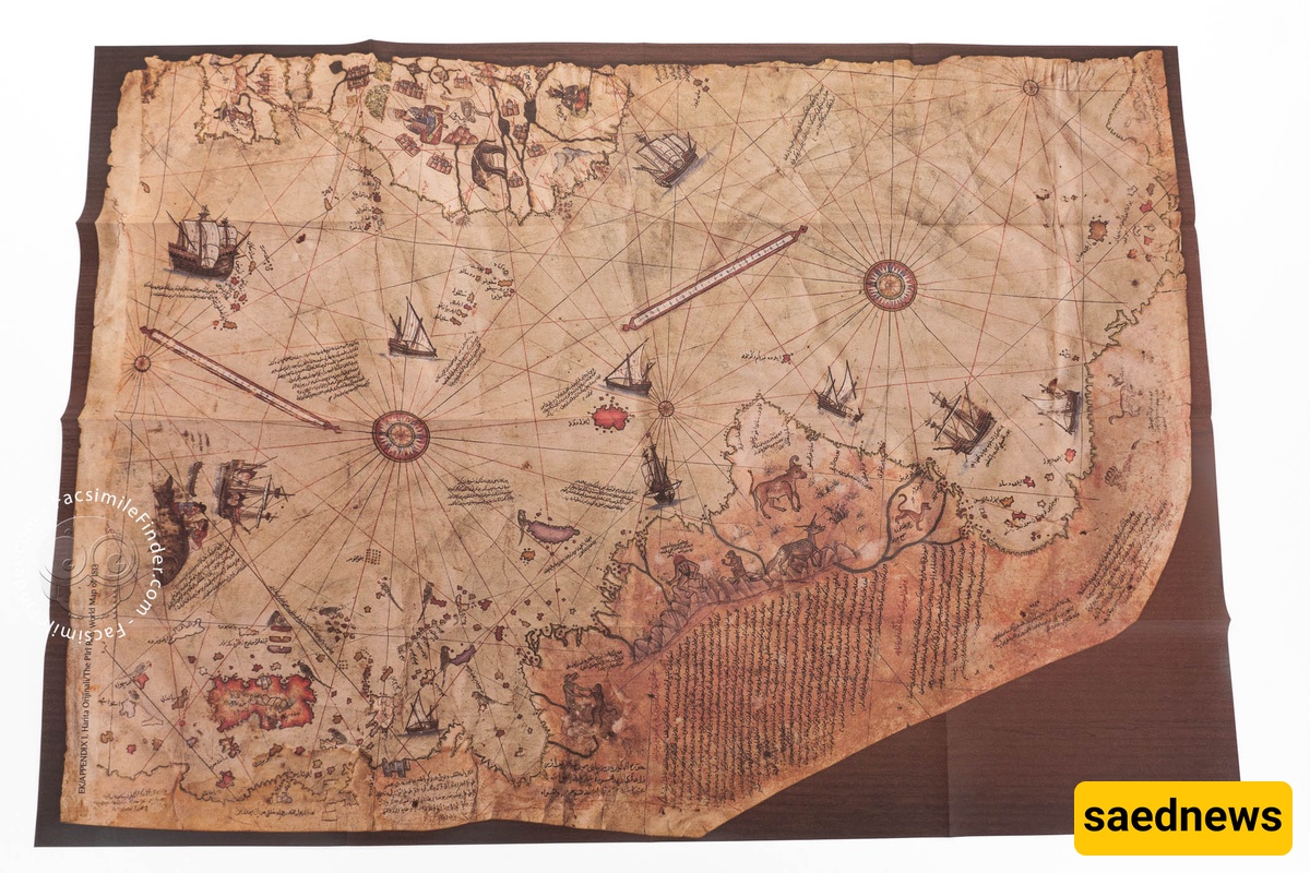
The mystery of the Piri Reis Map begins with a statement written directly on the map itself. Piri Reis explained that he used several earlier charts and sources when creating it, including maps connected to Portuguese voyages and a map associated with Christopher Columbus.
This was not unusual for Renaissance cartographers. Maps were often created by combining information from sailors, explorers, and previous geographical works. In many ways, Piri Reis was working like a modern researcher collecting data from different sources.
However, because many of the earlier maps he mentioned have disappeared, historians cannot fully reconstruct exactly how he combined his information.
The map appeared at a remarkable moment in world history. European sailors had only recently reached the Americas, and knowledge of the Atlantic was changing rapidly.
The Piri Reis Map is especially valuable because it contains one of the earliest surviving cartographic representations of parts of the New World. It also provides evidence of how information from different maritime traditions circulated during the early sixteenth century.
Unlike modern maps, it was not created using satellite measurements or precise global coordinates. Instead, it followed the traditions of portolan charts, which were designed primarily for navigation and relied on coastal observations, sailing knowledge, and compass directions.
One reason the map became famous among the general public is the claim that it shows Antarctica centuries before the continent’s official discovery.
Some writers have argued that the southern landmass depicted on the map represents Antarctica without its ice cover. However, mainstream historians and cartography specialists generally reject this interpretation. Researchers have explained that the area is more likely a representation of South American coastal regions or an early geographical interpretation rather than evidence of an unknown ancient civilization.
The debate became popular because the map appears unusually impressive for its period, but its real historical importance does not require extraordinary explanations.
The true mystery of the Piri Reis Map may not be that it contains impossible knowledge, but that it shows how quickly human understanding of the world was changing.
In the early 1500s, oceans that had once represented unknown boundaries were becoming connected through exploration. Sailors gathered information from different regions, and cartographers attempted to transform scattered discoveries into a single picture of the Earth.
Piri Reis’s achievement was not simply drawing a map. It was organizing the knowledge of a rapidly changing world.
The Piri Reis Map remains a reminder that historical knowledge is often incomplete. Missing documents, lost voyages, and forgotten sources leave researchers with questions that may never receive definite answers.
Yet that uncertainty is part of what makes the map valuable. It represents a moment when geography was changing from tradition and speculation into a more evidence-based understanding of the planet.
More than five centuries later, the map continues to attract attention because it tells a story not only about places, but about humanity’s long search to understand the world around it.