SAEDNEWS: Discover Germany: An Overview of Its Size, Geographical Regions, Natural Environment, Top Tourist Attractions, and Historical Landmarks
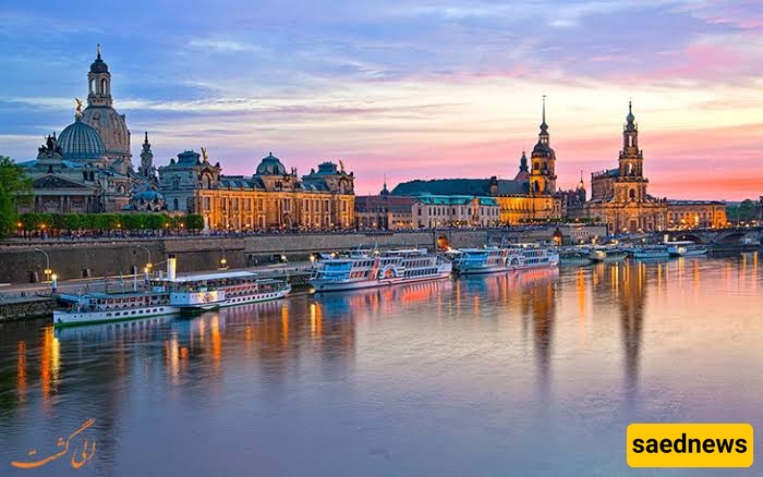
According to Saednews, Germany consists of 16 federal states. The largest state is Bavaria, located in the south, while the smallest is Bremen, in the northwest.
Germany's landscape is a combination of plains, forests, mountains, coastlines, several islands, marshlands, and lakes. In the north of the country, there are lowland areas with coastal regions protected by dikes. The northern lowlands are connected to the plains of central Germany. The largest plains in Germany include the Upper Rhine Plain, Westphalia, and the plains around Leipzig. Numerous ponds and lakes can also be found in northern Germany.
The central mountain ranges lie in the heart of Germany, separating the northern and southern parts of the country. The Harz, Ore Mountains, Fichtel Mountains, Hunsrück, and Bavarian Forest extend from north to south. Germany's highest mountain is the Zugspitze, located in the German section of the Alps in the south of the country, at an elevation of 2,962 metres.
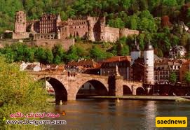
Geographical Coordinates and Location
The Federal Republic of Germany is located in the centre of Europe. It covers an area of 357,121.41 square kilometres. Its land borders extend for approximately 3,757 kilometres.
Germany's neighbouring countries are Denmark to the north; Belgium and the Netherlands to the west; Luxembourg, Switzerland, Austria, and France to the south; and Poland and the Czech Republic to the east.
The North Sea and the Baltic Sea provide Germany with access to international waters. The country's coastline along these two seas extends for approximately 2,389 kilometres.
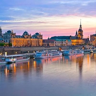
Germany's longest rivers are the Rhine, with a length of 856 kilometres; the Elbe, at 700 kilometres; and the Danube, at 647 kilometres.

Germany has a temperate climate influenced by both the Atlantic Ocean and continental conditions. The prevailing winds generally blow from the west.
Geographically, Germany can be divided into five major regions, extending from the North Sea and the Baltic Sea to the Alps in the south:
The Northern Lowlands
The Central Uplands
The Low-Mountain Slopes in the Southwest
The Foothills of the Alps
The Bavarian Alps
Traditionally, Germany was divided into two parts following the Second World War: East Germany and West Germany. However, after the fall of the Berlin Wall, the eastern part was officially associated with the newly established federal states, while the western part consisted of the older federal states.