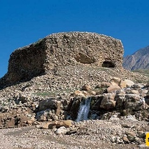
SAEDNEWS: Yazdegerd Castle, located in the Dalahu region of Kermanshah, is one of Iran’s oldest archaeological sites. According to historical accounts, it is believed to have served as the final refuge of Yazdegerd III, the Persian king, during the Arab invasion.
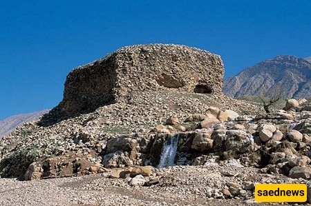
According to Saednews, Yazdegerd Castle in the Dalahu region of Kermanshah Province is one of Iran’s ancient archaeological sites. According to historical accounts, it served as the last refuge of Yazdegerd III, the last Sasanian king of Persia, during the Arab invasion.
Yazdegerd Castle, also known as Yazdegerd Fortress, dates primarily to the Parthian period. It is located in the central district of Dalahu County, in Ban Zarde Rural District, approximately 700 meters south of the village of Zarde. The site was registered as a National Heritage Site of Iran on March 18, 2008.
Yazdegerd Castle is situated near Taq-e Gara, close to the city of Sarpol-e Zahab. To reach this ancient fortress, take the Kermanshah–Sarpol-e Zahab road and, approximately 18 kilometers beyond the Rijab junction toward Sarpol-e Zahab, follow the route leading to the historic site.
The castle complex covers an extensive area of the Dalahu region, extending across approximately 40 square kilometers. The journey from Zarde village to Rijab takes about 20 minutes. Although the route to the castle is rugged and difficult to navigate, the remarkable ruins and the surrounding green landscape make the trip worthwhile.
Address: Zarde Village area, Ban Zarde Rural District, Central District, Dalahu County, Kermanshah Province, Iran, approximately 700 meters south of Zarde village.
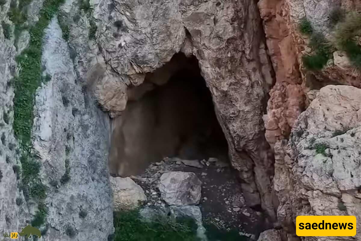
According to local historical accounts, the ancient fortress served as a refuge for Yazdegerd III, the last king of the Sasanian dynasty, and his daughter Shahrbanu following the defeat of the Sasanian army during the Arab invasion.
Thanks to its highly strategic defensive position, the fortress was considered one of the strongest strongholds of ancient Persia. The association of the Sasanian king with the site has preserved its name and historical significance through the centuries.
The castle’s defensive system relied heavily on the surrounding cliffs, natural barriers, and steep slopes. These geographical features provided a substantial strategic advantage and helped protect the settlement from potential attacks.
The fortress was naturally protected by elevated terrain and geographical obstacles on three sides. Archaeological excavations have revealed evidence of a large settlement within the complex, suggesting that it once accommodated a considerable population.
The Yazdegerd Castle complex extends across approximately 40 square kilometers, beginning about 18 kilometers beyond the Rijab junction toward Sarpol-e Zahab. Its northwestern side overlooks the Zohab Plain through a steep escarpment, while its northern and eastern boundaries meet the stepped rocky slopes of the Dalahu mountains.
Early archaeological investigations conducted before 1979 by a Canadian archaeological team suggested, based on plasterwork discovered at the well-known Gach Gonbad site, that parts of the complex dated to the Sasanian period. Subsequent excavations revealed that many of the structures in the area actually belonged to the late Parthian period.
The complex consists of several separate archaeological sections, including the following:
The Gach Wall is a linear defensive structure approximately 2.5 kilometers long and between 2 and 4 meters wide. It was constructed using rounded stones, rubble, and gypsum mortar.
Semicircular towers were built at regular intervals along the wall. These towers likely served as guard posts and structural reinforcements.
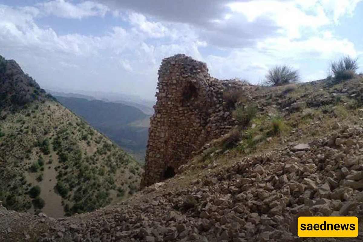
At the lower end of the wall, a group of fortified structures can be found. These buildings are believed to have served as accommodation or quarters for soldiers stationed at the fortress.
At the beginning of the defensive wall stand two isolated towers, which are identified as the entrance or gateway to the fortified complex.
This section lies among the gardens of Zarde village. Its remains include defensive walls and towers, suggesting that it may have formed part of a larger fortified enclosure protecting the surrounding settlement.
Large quantities of pottery fragments from different historical periods have been discovered at this site, providing valuable evidence of the area's long history of occupation.
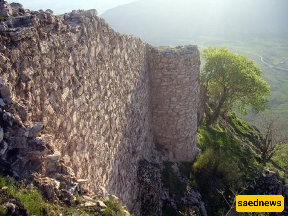
The main fortress was built at the highest elevation in the area. It is surrounded by a defensive enclosure featuring semicircular towers. These towers measure approximately 2 to 6 meters in diameter and are spaced about 6 to 16 meters apart.
Also known as Meydan, this archaeological area measures approximately 400 by 800 meters. A defensive wall with semicircular towers surrounds the site.
A garden complex, or pardis, was located in the southern section, while a palace stood in the northern part. Numerous decorative plaster fragments have been recovered from the palace, indicating the architectural sophistication of the complex.
Behina Castle is located in Ban Gonbad village. The site includes a fire temple believed to date to the Sasanian period and the early Islamic era.
This structure stands on elevated ground northeast of the main Yazdegerd Castle complex. It is believed to have served as a watchtower, allowing guards to monitor the surrounding landscape.
Located on the high ground northwest of the main fortress, this structure is also believed to have functioned as a watchtower in the past.
Yazdegerd Castle is an important archaeological landmark in western Iran. Its extensive defensive structures, dramatic mountainous setting, and remains from the Parthian and Sasanian periods offer valuable insight into the region’s ancient history.
Beyond its architectural significance, the site remains closely associated with the story of Yazdegerd III, the last ruler of the Sasanian Empire, making it a compelling destination for visitors interested in Iran’s ancient civilizations, military architecture, and cultural heritage.