SAEDNEWS: In this segment, we bring you a video of Urmia’s stunning roadways and its breathtaking natural scenery.
The 3,000-Year-Old Urmia
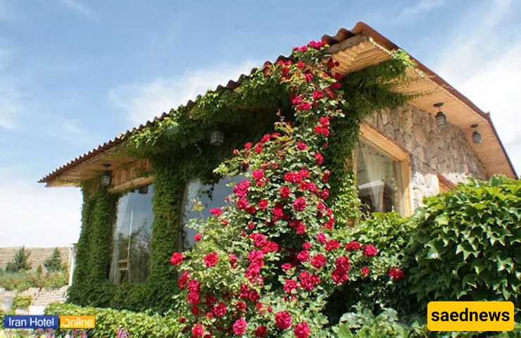
Urmia, with its 3,000-year history, should naturally have numerous attractions to draw both Iranian and international tourists. Considering its geographical location, diverse ethnicities, and religions, the city should offer pristine landscapes, lakes, gates, historical buildings, mosques, churches, and notable houses.
Natural Attractions of Urmia
Tourist attractions can be divided into three main categories: historical, nature-based, and urban, but here we classify them into six categories: natural landscapes, gates, buildings, mosques, churches, and houses. Below, we focus more on natural tourist attractions.
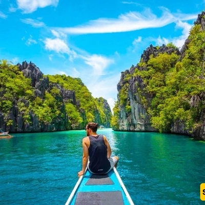
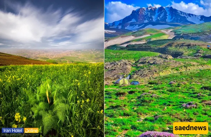
Natural Landscapes include Lake Urmia, Marmisho Lake, Silvana Highland, Dalanper Mountain, Shamlkan Waterfall, Doqoqoz Pele Glacier, and more.
Due to its strategic and commercial importance and for maintaining security, Urmia historically had eight gates, such as Ark, Yordshah, and Bazarbash.
Notable Natural Sights of Urmia
Historical Buildings include the Urmia Municipality Building, Old Urmia Bazaar, Hedayat School, Shahrebani Building, Three Domes Mansion, Four Towers Mansion, and more.
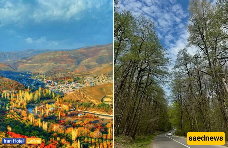
This section introduces Urmia’s natural attractions, including lakes, mountains, highlands, waterfalls, and glaciers.
Lake Urmia
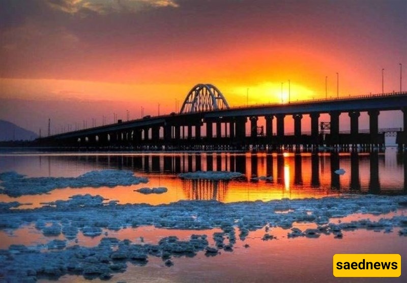
Lake Urmia is located between East and West Azerbaijan provinces, 17 km east of Urmia (northwest Iran). Known as the “Turquoise Jewel of Iran,” this lake shares its name with the city. Today, it resembles a desert due to drying. Other historical names include Chichast, Kabudan, and Rezaieh. Covering about 4,810 km², with a length of 130–140 km, width of 15–20 km, and average depth of 6–15 meters, it is the country’s largest water body, Iran’s saltiest permanent lake, the world’s second-largest salt lake, and one of the world’s hypersaline lakes, similar to the Great Salt Lake in the USA.
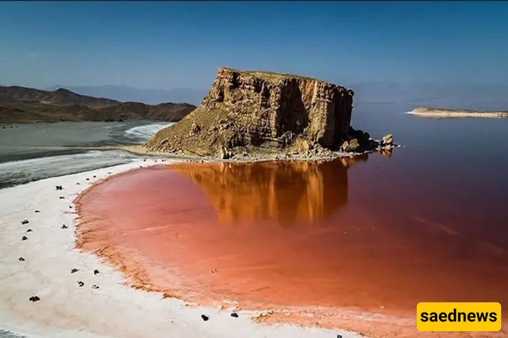
Access: Via Tabriz–Urmia Highway to the Middle Bridge of the lake (Shahid Kalantari Bridge).
Address: Urmia, Darya Road
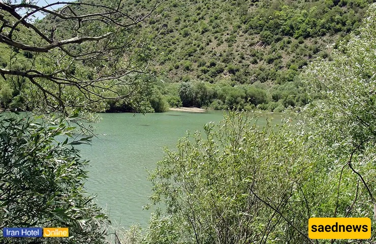
Marmisho Lake
Located 45 km west of Urmia in the mountains near the Iran-Turkey border, Marmisho Lake is less visited due to distance but has gained attention after Lake Urmia dried. Its source is in Turkey, and it eventually flows into Nazlu Chay River. Its pristine, mountainous nature makes it attractive for tourists, especially in summer and spring.
Access: Drive 40 km west from Madreseh Square, passing villages Bani and Helani to reach Marmisho Village and the lake.
Address: 60 km west of Urmia city center
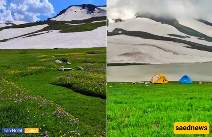
Silvana Highland
Silvana Highland is known for its natural melting snow lakes and springs, pure oxygen (one of 19 regions worldwide with pure oxygen), and the production of premium natural honey. Summer is the ideal visiting season.
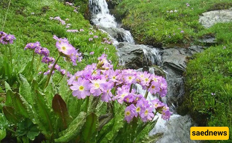
Access: Reach Band Village Road, pass Shahrchay Dam, Pashkale, and Salim Beyg to arrive at Silvana.
Address: 40 km southwest of Urmia, Band Village Road, Silvana Region
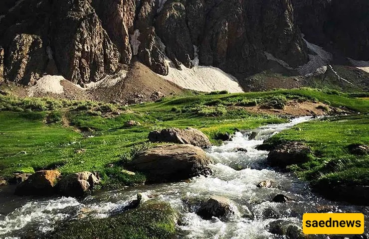
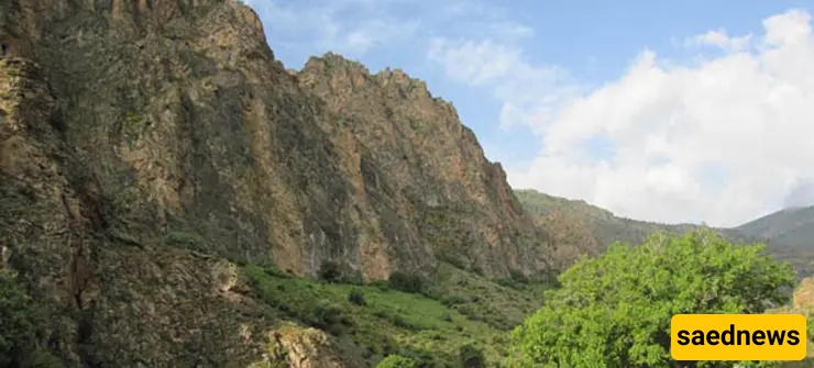
Dalanper Mountain
A pristine region with glaciers thousands of years old, Dalanper Mountain sits at the Iran-Iraq-Turkey border, with its peak shared by all three countries. Notable lakes include Dalanper, Dimeh, and Mame Sheikh. The Misty Waterfall (Suleh Dokal) originates from snowmelt.
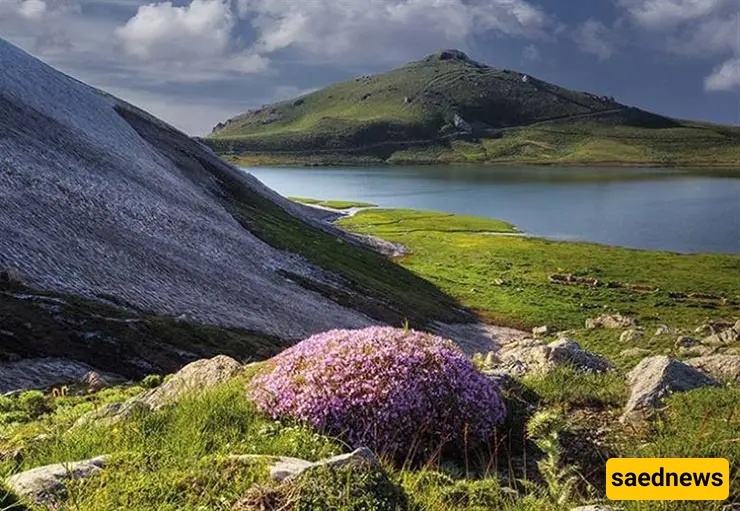
Access: Take Band Village Road through Seh Gorgan and Mansourabad, then head west to Dalanper Road.
Address: 84 km southwest of Urmia
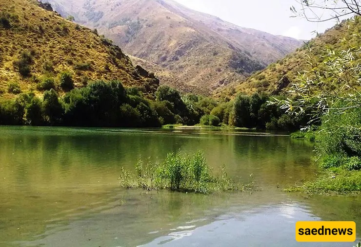
Shamlkan Waterfall
Located near Shamlkan Village, 4 km south of Urmia, accessible from Band or Sir villages.
Access: From Resalat Street, head toward Daneshgah Highway, then Band Village, then south toward the waterfall sign.
Address: 14 km southwest of Urmia, after Band Village
Bari Coastal Tourism Complex
A multi-purpose resort and cultural complex on the Urmia–Salmas road, featuring a 5-star hotel and recreational facilities. It is Iran’s first national health village project.
Access: From city center, head north from Airport Square, passing Sheikh Sarmast, Ozarlu, Hesar Baba Ganjeh, Sultanabad, Golan, and Qushchi.
Address: 40 km from Urmia toward Salmas, Qushchi region
Khushaku Ski Resort
Located 35 km west of Urmia, popular in winter.
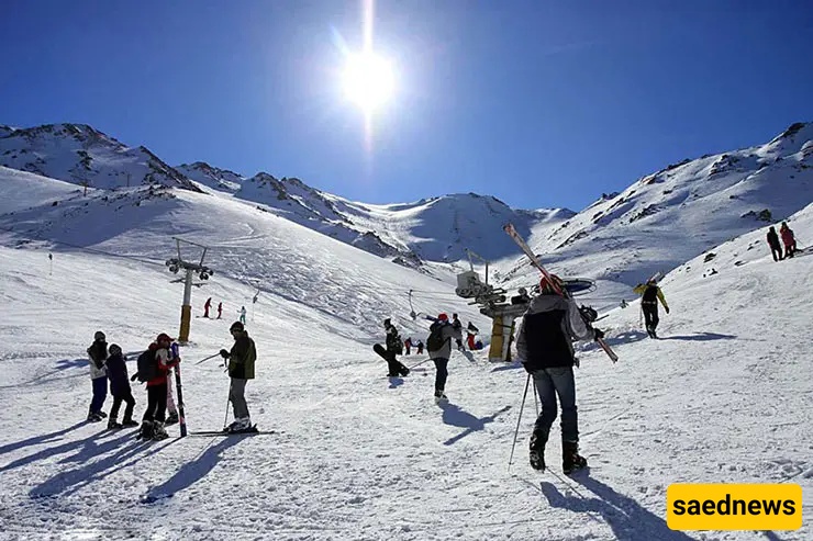
Access: Take Ostadh Shariar Street to Urmia–Anhar road, continue to Tuli Village, Darband area.
Address: 42 km west of Urmia, Darband region
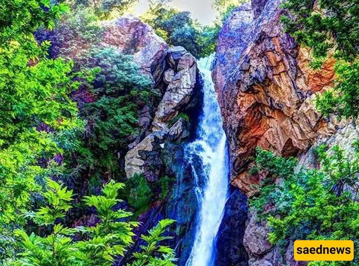
Solk Waterfall
Also called Suleh Dokal, near Solk Village in Margur region. 76 meters high with natural steps.
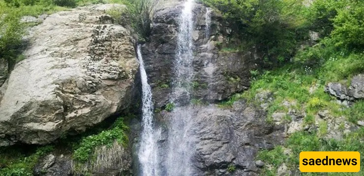
Access: From Urmia–Anhar Road to Tolk Village, then south toward Band Road, left side after 2 km.
Address: 39 km west of Urmia, Band Village Road
Martyrs’ Valley
Formerly Qasemlu Valley, renamed to honor martyrs. Mountainous and rocky, located on Urmia–Mahabad Road.
Access: From Urmia to Oshnavieh Road, pass Aralan, Saatlou, Balanj, Qasemlu, and Salane.
Address: 37 km south of Urmia, Urmia–Mahabad Road
Barandoz Village
Known for apple orchards and the historic Barandoz Bridge.
Access: Via Oshnavieh Road to Saralan, continue west past Didan Olya to Barandoz Road.
Address: 25 km from Urmia–Oshnavieh Road, Barandoz region
Sir or Sir Dagh Mountain
Home to Urmia’s cable car to Khushaku Ski Resort, Iran’s longest cable car. Natural springs and safe environment make it ideal for hikers.
Access: From Rudaki Boulevard, follow Khatailu Road to Heydarlu, then follow signs.
Address: 17 km south of Urmia, Sir Dagh region
Band Village
Famous for scenic nature, located between two rocky mountains and near Shahrchay River. Residents speak Turkish and Kurdish.
Access: Via Daneshkadeh Street, continue past Urmia University of Technology to Band Village Road.
Address: 11 km southwest of Urmia, Jam-e Jam Boulevard
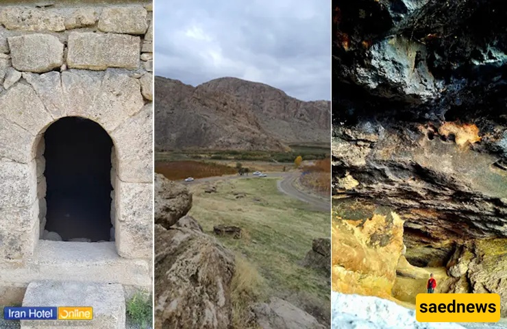
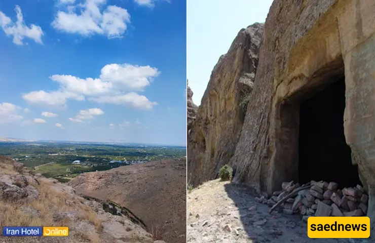
Temteme Cave
A prehistoric cave listed in Iran’s National Heritage in 2005, offering a blend of history and nature tourism.
Access: From Urmia–Sero Road, 23 km northwest, then follow the sign and short walk past Safavid Emirs’ Tomb.
Address: 23 km northwest of Urmia
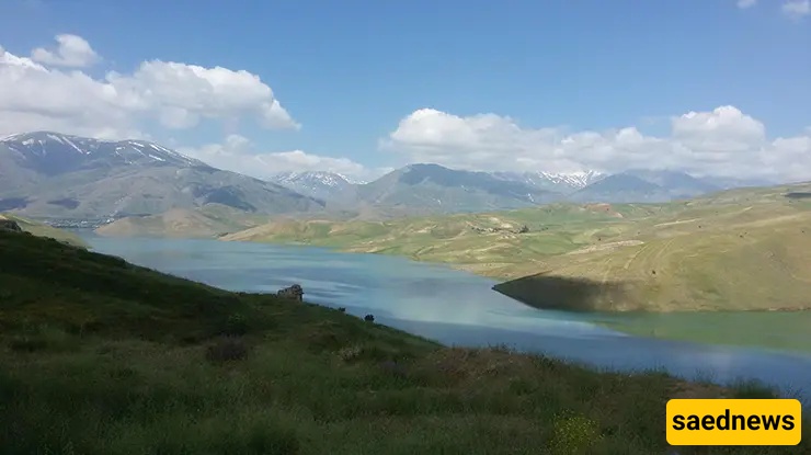
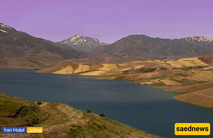
Shahrchay Dam
Beautiful dam with recreational activities like boating, swimming, cycling, hiking, and camping.
Access: From Jam-e Jam Boulevard, pass Band Village to reach Shahrchay Reservoir.
Address: 20 km southwest of Urmia, after Band and Nushan Olya
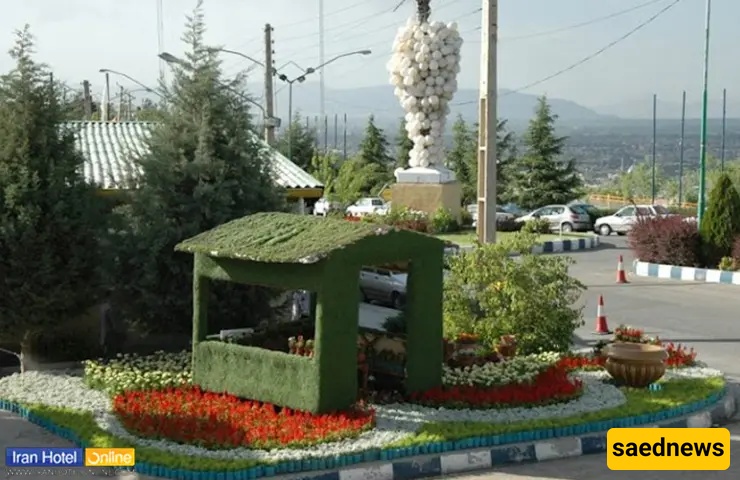
Sheikh Tappeh Forest Park
A 44-hectare park atop Urmia city, offering scenic views, historical mounds, and recreational facilities.
Access: From Shahid Dastgheib Boulevard to Meysam Boulevard, then Alborz Street to reach the park.
Address: Urmia, Alborz Street, Shahid Biabani Street
Google Maps Location:
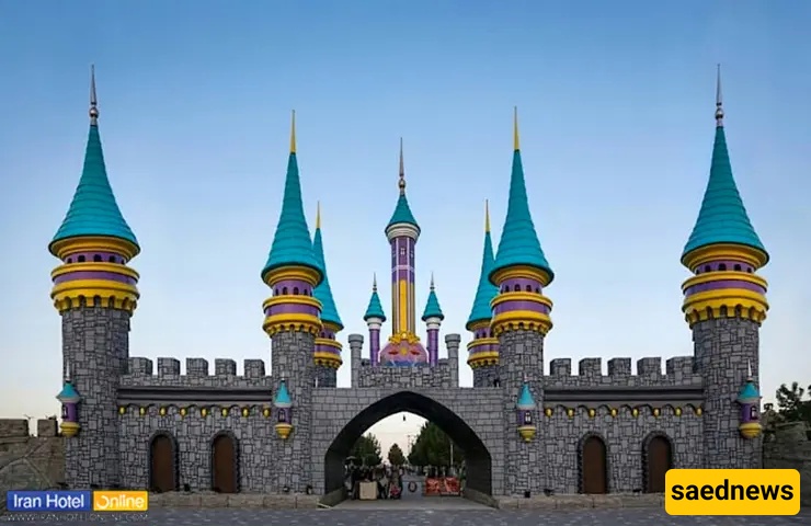
Chi Chist Coastal Village
A modern recreational village with activities like rally tracks, go-karting, cycling, and restaurants.
Access: From Haft Tir Boulevard to Darya Road, drive 18 km past Gilman Khaneh Port.
Address: Urmia, Chi Chist Road, 18 km toward the lake
Google Maps Location:
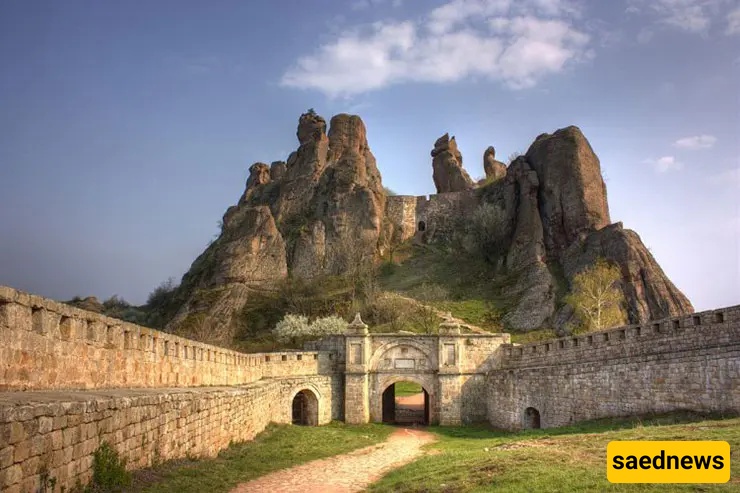
Bank Castle
A four-story, conical fortress in Somay Baradust, atop a mountain.
Access: From Khatam al-Anbiya Boulevard to 3rd Khordad Bridge, then Urmia–Sero Road to Somay Baradust.
Address: 18 km Urmia–Sero Road
Dam Dam Castle
Built in 1018 AH, near Baradust, with permission from Shah Abbas.
Access: Via Oshnavieh Road, pass Saatlou, Joogh, Bozorgabad.
Address: 27 km south of Urmia, Oshnavieh Road