SAEDNEWS: Hokkaido: Japan’s Northern Frontier of Wild Landscapes and Indigenous Heritage
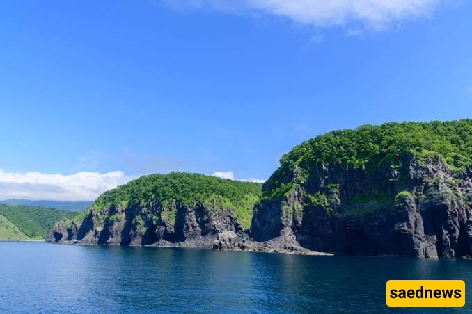
According to Saednews, When people think of Japan, their minds often turn to Tokyo, the temples of Kyoto, or the neon-lit streets of Osaka. Yet, in the northern part of the country lies an island that differs considerably from almost every familiar image of Japan. It is a land of vast plains, dense forests, volcanic mountains, extremely cold winters, and snowfall that can sometimes exceed several metres. This remarkable region is known as Hokkaido.
Hokkaido is part of Japan, but many travellers feel as though they have stepped into an entirely different country when they arrive. Population density is lower, landscapes are more expansive, agriculture and livestock farming form the backbone of the local economy, and traces of the indigenous Ainu culture can be found throughout the island.
Hokkaido is the northernmost of Japan's four main islands. It lies in the Northern Hemisphere, in northeastern Asia, along the western edge of the Pacific Ocean. Its approximate central coordinates are 43 degrees north latitude and between 142 and 145 degrees east longitude. This places Hokkaido at roughly the same latitude as cities such as Nice in France and Portland in the United States. However, its continental location and cold ocean currents give it a considerably colder climate than these cities.
To the south, Hokkaido is separated from Honshu Island by the Tsugaru Strait. At its narrowest point, the strait is approximately 19 kilometres wide.
To the north lies the Sea of Okhotsk, parts of which freeze over during winter. The Sea of Japan borders the island to the west, while the Pacific Ocean stretches along its eastern and southeastern shores.
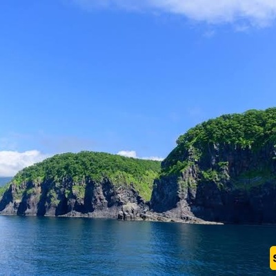
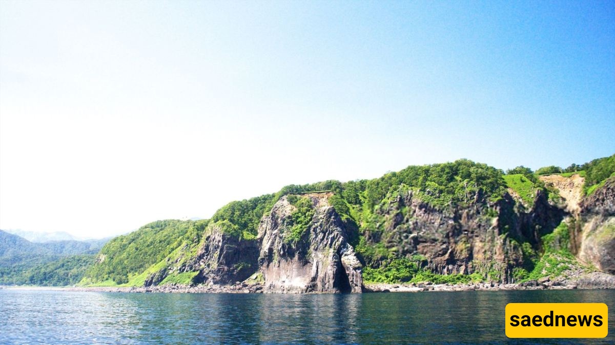
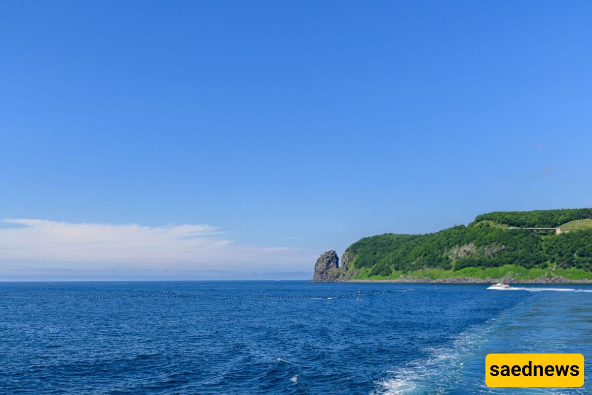
In northeastern Hokkaido, the Shiretoko Peninsula is particularly notable for its unique ecosystem and its designation as a UNESCO World Heritage Site.
Hokkaido covers approximately 83,424 square kilometres. This represents roughly 22% of Japan's total land area, although only around 4% of the country's population lives there.
To put its size into perspective, Hokkaido is almost as large as Austria, which covers approximately 83,800 square kilometres, and is comparable in scale to Scotland. In other words, although it is smaller than some of Iran's largest provinces, such as Sistan and Baluchestan, it is larger than many European countries.
Hokkaido is Japan's second-largest island after Honshu and the country's largest prefecture by land area. The entire island forms a single administrative prefecture, also called Hokkaido, with Sapporo serving as its administrative centre.
Understanding Hokkaido's history helps explain why its culture differs so much from the rest of Japan. Unlike Honshu, Kyushu, and Shikoku, which have thousands of years of agricultural civilisation and imperial history, Hokkaido remained on the outskirts of Japan's political authority for centuries.
The original inhabitants of Hokkaido are the Ainu, an indigenous people with a distinct language, belief system, artistic traditions, and way of life. They have lived in this region for thousands of years.
Ainu culture is deeply rooted in respect for nature and the belief that spiritual beings, known as Kamuy, inhabit natural elements and creatures, including bears, salmon, trees, and volcanoes.
Distinctive geometric patterns found in traditional Ainu textiles and handicrafts have become important cultural symbols of Hokkaido.
In 2019, the Japanese government officially recognised the Ainu as an indigenous people of Japan, following decades of advocacy and efforts by civil rights activists.
In 2020, the National Ainu Museum, known as Upopoy, opened in Shiraoi, Hokkaido. Its mission is to introduce visitors to Ainu history, language, music, and traditional crafts through exhibitions and cultural programmes.
During the Edo period (17th to 19th centuries), the Matsumae clan, based in southern Japan, established control over parts of southern Hokkaido. Hakodate gradually developed into an important administrative and trading centre.
Before this period of formal integration, Japanese sources commonly referred to the region as Ezo, a name used for the northern territories and their inhabitants.
During the Meiji era, in 1869, the central Japanese government formally incorporated the region into the country's administrative system and adopted the name Hokkaido, which can be translated as "Northern Sea Circuit" or "Northern Sea Province."
From that point onwards, migration from Honshu increased. Cities such as Sapporo were developed using urban planning concepts influenced by American models, while agriculture, mining, and railway infrastructure expanded.
The Hokkaido Development Commission, which worked with foreign advisers, including American engineers, played a significant role in this transformation. The military also contributed considerably to infrastructure development and urban expansion.
From a geological perspective, Hokkaido is a relatively young and dynamic region. It lies near the meeting point of several tectonic plates, making earthquakes, volcanic activity, and natural hot springs common features of its landscape.
The highest peak in Hokkaido is Mount Asahi (Asahidake), which rises approximately 2,291 metres above sea level and is located within Daisetsuzan National Park.
Daisetsuzan is Japan's largest national park, encompassing volcanic mountain peaks, glacial valleys, and numerous natural hot springs.
Among Hokkaido's most important active and historically significant volcanoes is Mount Usu, located near Lake Toya. It erupted in 2000, affecting surrounding infrastructure and communities.
Other well-known volcanic mountains include Mount Tarumae, Mount Tokachi, and Mount Meakan.
Volcanic activity has also helped make Hokkaido one of Japan's leading destinations for hot spring tourism, known locally as onsen. Towns and resort areas such as Noboribetsu, Jozankei, and Toyako are particularly famous for their hot spring facilities.
Hokkaido is home to numerous lakes, many of which were formed through volcanic activity.
Lake Shikotsu: One of Japan's clearest lakes, famous for its beautiful turquoise-blue water.
Lake Toya: A volcanic caldera lake featuring an island in its centre and hot springs along its shores.
Lake Akan: Famous for its rare spherical green algae formations known as marimo.
Lake Mashu: Considered one of the clearest lakes in the world. Access to its shoreline is restricted due to conservation regulations.
The longest river in Hokkaido is the Ishikari River, which stretches approximately 268 kilometres and provides water for the fertile plains surrounding Sapporo.
The Kushiro Wetlands are also among Japan's most important wetland ecosystems. They provide habitats for migratory birds and rare wildlife, including the endangered Japanese red-crowned crane.
Two of Hokkaido's protected natural areas are particularly important on an international scale.
The Shiretoko Peninsula was designated a UNESCO Natural World Heritage Site in 2005. During winter, drifting sea ice reaches its shores, creating a distinctive marine ecosystem and supporting an exceptional food chain.
Daisetsuzan National Park, meanwhile, is renowned for its alpine landscapes, volcanic scenery, and remarkable plant diversity. It is one of Japan's most important protected natural areas.