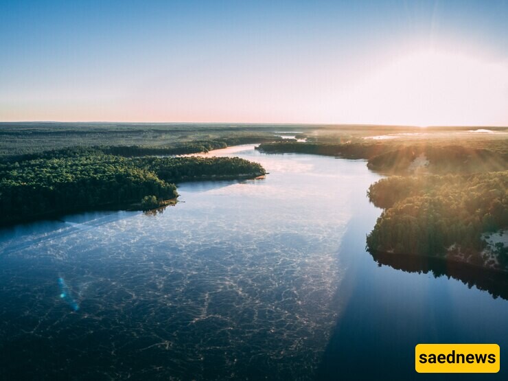
SAEDNEWS: Rivers have historically acted as natural borders, dividing nations and influencing geopolitical landscapes. Their strategic and geographic significance makes them ideal for delineating territories.

According to SAEDNEWS: throughout history, rivers have played a crucial role in marking territorial limits. Their clear, visible paths and natural defenses make them logical choices for borders. Beyond their geographic significance, rivers often carry cultural, economic, and political importance, further solidifying their role as boundary markers.
Rivers offer a straightforward and universally recognizable boundary. Unlike artificial borders, their flowing waters provide a clear physical separation between regions. This natural clarity reduces disputes over demarcation and provides a defense mechanism against invasions, particularly in historical contexts where rivers were challenging to cross without advanced technology.
1. The Rio Grande

Separating the United States and Mexico, the Rio Grande has been a critical marker since the Treaty of Guadalupe Hidalgo in 1848. It symbolizes both a geographic divide and a cultural junction, influencing trade and migration.
2. The Rhine River

In Europe, the Rhine has historically served as a boundary, particularly between France and Germany. Its strategic location made it a focal point in territorial disputes and a key trade route in European history.
3. The Danube River

As one of Europe’s longest rivers, the Danube flows through multiple countries, acting as a natural border for nations like Romania and Bulgaria. Its role extends beyond geopolitics, fostering economic and cultural exchanges across its banks.
Despite their advantages, river borders are not without complications.
Shifting Courses
Rivers can change course over time due to natural erosion, sediment deposition, or flooding. These shifts can create disputes over which territory a newly formed section belongs to.
Resource Management
Shared rivers require cooperation in managing water resources, including irrigation, fishing, and hydroelectric projects. Disputes can arise over unequal access or exploitation, as seen with the Nile River and its surrounding nations.
Political Tensions
Rivers that separate countries with strained relations can become points of contention rather than unity. Disputes over navigation rights or territorial claims can exacerbate existing conflicts.
Rivers often symbolize more than just political boundaries—they foster cultural exchange and economic growth. Communities along riverbanks frequently share languages, traditions, and trade practices. For instance:
The Mekong River connects nations in Southeast Asia, supporting agriculture and fishing industries.
The Ganges River, while primarily in India, influences religious practices across neighboring regions like Nepal and Bangladesh.
These shared benefits underscore the need for cooperation among nations sharing river borders.
With advancements in technology and international law, countries are better equipped to manage river borders. Treaties and agreements, such as the Indus Waters Treaty between India and Pakistan, set frameworks for sharing resources and resolving disputes. Organizations like the International Boundary and Water Commission help mediate conflicts and promote sustainable practices.
Rivers have been defining borders for centuries, offering natural separation and fostering collaboration. While they pose challenges, their ability to connect and sustain life highlights their importance in global geopolitics. As nations continue to navigate shared responsibilities, rivers will remain central to discussions of borders, unity, and sustainable development.

