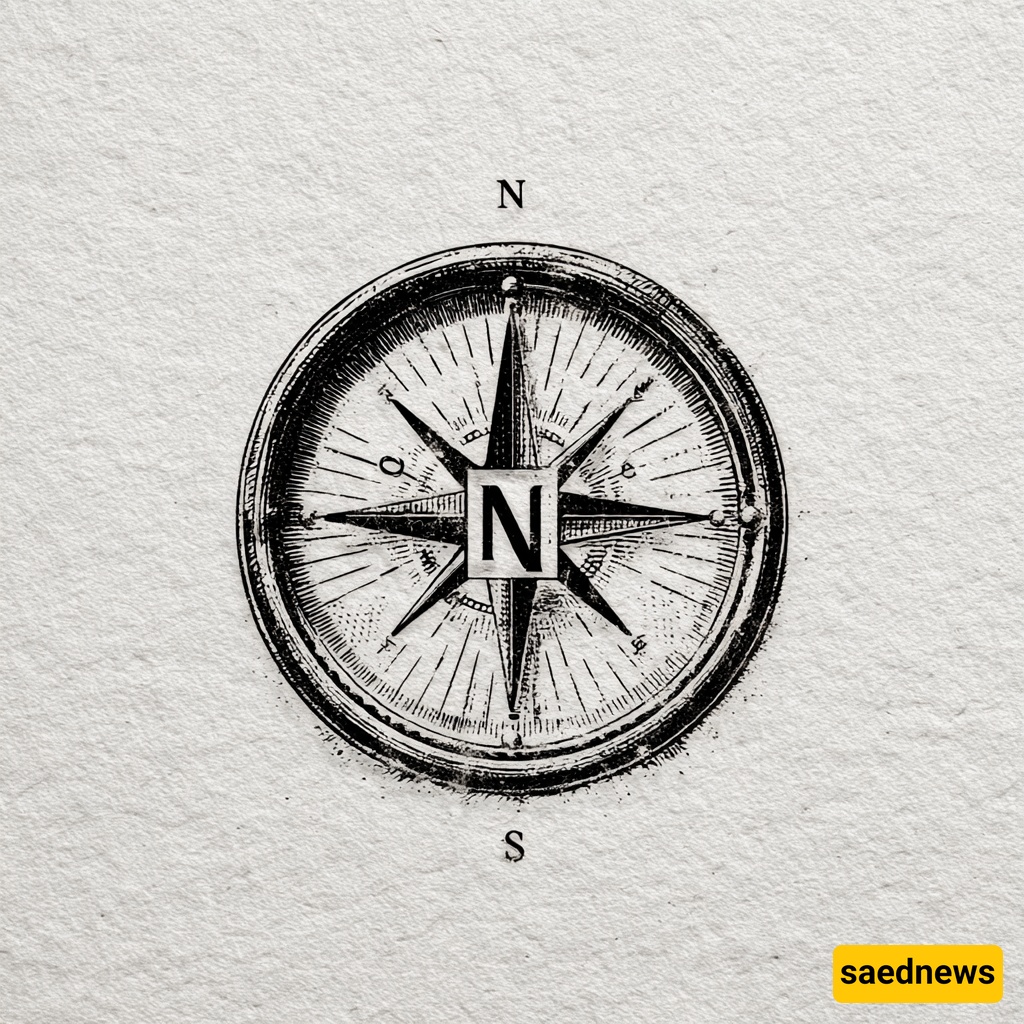
Cardinal directions feel obvious, but there’s nothing inevitable about putting north at the top of a map. Different cultures and eras put east or south up, and only over centuries — for reasons political, religious, navigational and technological — did north become the global default.
Cardinal directions — north, south, east and west — look like simple, natural facts. The Sun rises in the east and sets in the west, and the pole star points roughly north. Without directions we’d be lost. But directions are more than compass points or map labels: they carry cultural, political and moral meaning.
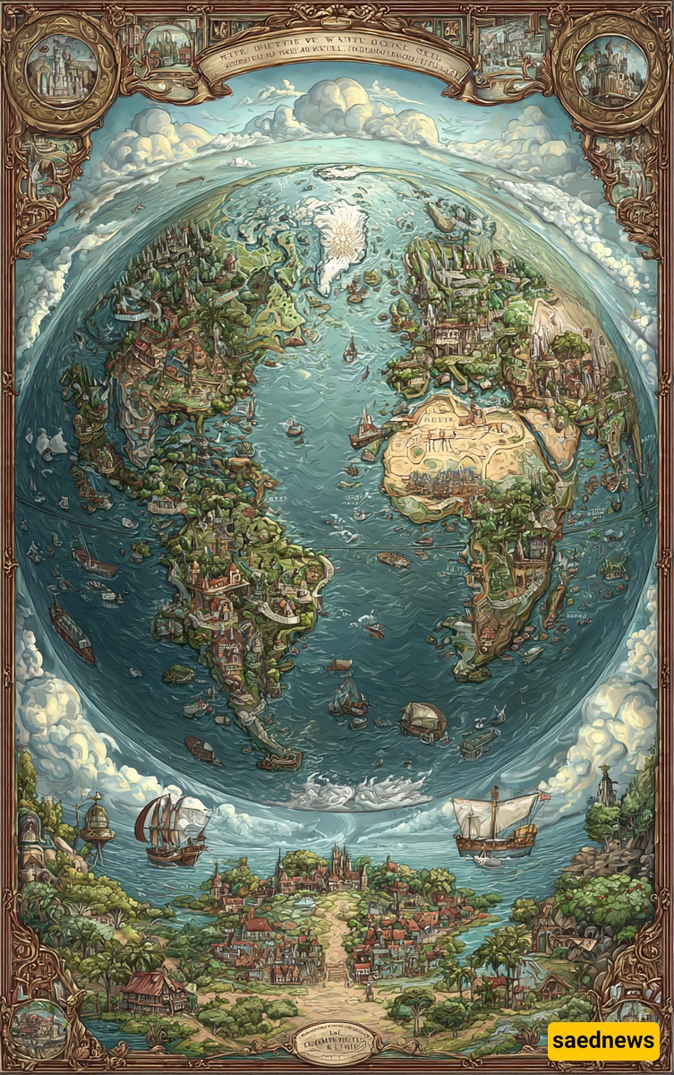
There’s no physical law that says north must sit at the top of a map. South or east could just as easily have been the standard — and in many places and periods, they were.
Historically, west was associated with sunset, endings and darkness. Many cultures linked the west with death and decline, so it rarely occupied a respected, “sacred” position on maps. Medieval world maps sometimes placed the west at the bottom, a position packed with symbolic gloom — even marked with the Latin word for “death” in the margins.
Cultures often started with the east because the Sun’s rising symbolized birth and beginnings. The Latin root of “orient” literally means “to rise,” and in early Christianity the east was associated with paradise — which is why many medieval maps placed east at the top, showing Eden there. The famous Hereford map is a classic example: it places Eden in the east and depicts spiritual geography more than roads.
In the Islamic world, orientation for religious practice mattered deeply. Early Muslim maps often put south at the top because of the qibla (direction of prayer) and how Muslims related to sacred sites; one famous example is al-Idrisi’s world map for Roger II of Sicily (1154), where south appears at the top and Europe is shown smaller and at the bottom.
Centuries later, artists and cartographers occasionally flipped the map again: Joaquín Torres García’s “Upside-Down America” and an Australian cartographer’s 1979 re-orientation (intended to center Australia) both put south on top to challenge northern-centric assumptions. These are reminders that “up” on a map is a cultural choice, not a geographic law.

North’s rise to dominance is complicated. In China, for instance, north was placed at the top because emperors sat in the north of their realm and should be shown above their subjects. For Europe and global navigation, though, the turning point came with open-sea navigation and the rise of practical mapmaking: the pole star and compass made north a reliable guide in featureless oceans. Gerardus Mercator’s 1569 world map — designed to help sailors plot straight courses — helped cement north-up as the practical cartographic standard.

Mercator’s projection became the maritime standard and eventually the default for many maps used for navigation, and its north-up layout spread widely. The projection even influenced mapping beyond Earth — its approach was echoed in early planetary maps — and the north-up habit stuck.
Now most people carry personal, digital maps that orient to your direction of travel rather than a fixed cardinal “up.” Google Maps centers you and rotates so the map faces the way you’re going, which makes compass directions less visible in daily life.

Some experts worry that relying on turn-by-turn, self-orienting maps may erode traditional navigation skills. A mobile map can hide the larger landscape and discourage building a mental map of your surroundings — skills that mattered for millennia and still help people make sense of unfamiliar places.