SAEDNEWS: The earliest known world maps date to classical antiquity, the oldest examples of the 6th to 5th centuries BCE still based on the flat Earth paradigm. World maps assuming a spherical Earth first appear in the Hellenistic period.
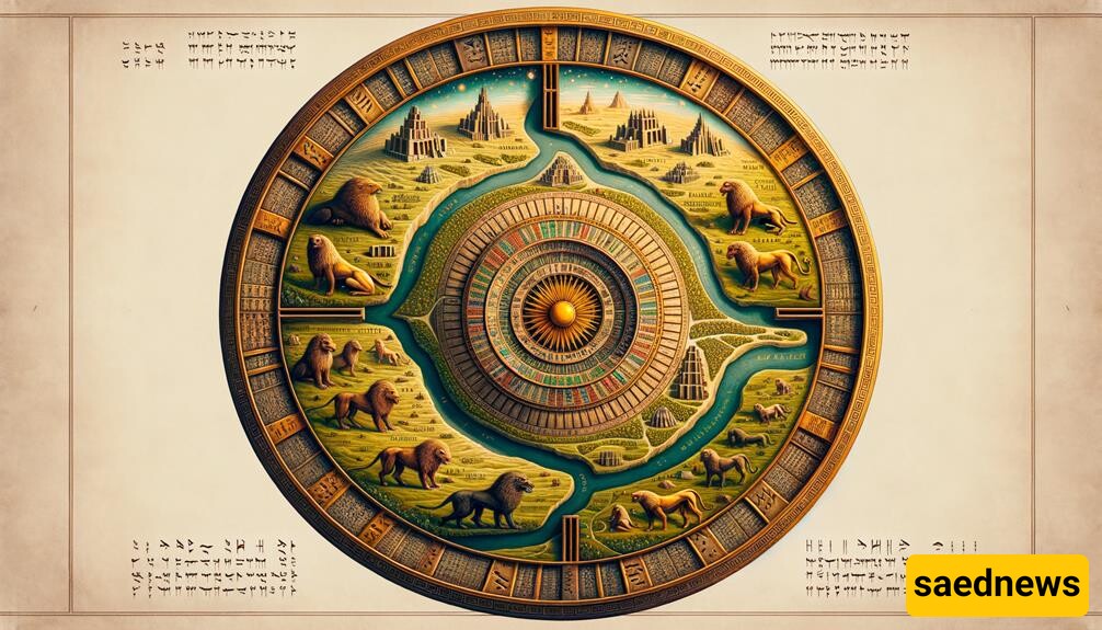
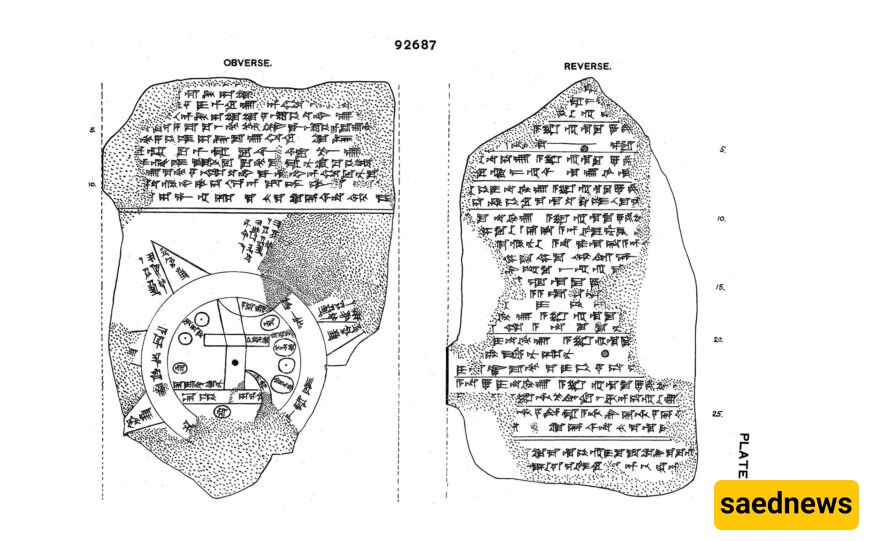
According to SAEDNEWS: This tablet features a cuneiform inscription alongside a distinctive map of the Mesopotamian world. At its center, Babylon is depicted (in the rectangle at the top half of the circle), with names of Assyria, Elam, and other locations also included.
Encircling the central area is a circular waterway labeled 'Salt-Sea.' The outer edge of this sea is likely meant to represent eight regions, each marked by a triangle and designated as 'Region' or 'Island,' along with the distances between them. The cuneiform text provides descriptions of these regions, hinting at the existence of strange mythical creatures and great heroes who inhabited them, though the text itself is incomplete.
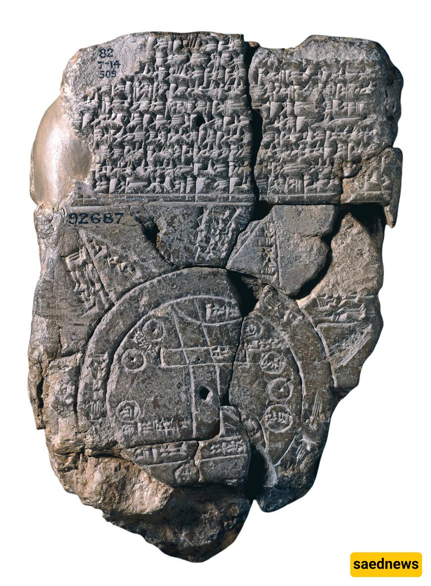
The regions are represented as triangles to reflect how they would initially appear when approached by water. While this map is occasionally regarded as a legitimate representation of ancient geography, it primarily serves to convey the Babylonian perspective of the mythological world. Although the locations are depicted in roughly accurate positions, the map's true intent lies in illustrating the mythological landscape rather than.