SAEDNEWS: Baladeh is a city in the Jereh and Baladeh district of Kazeroon County, Fars Province, in southern Iran, and it boasts stunning tourist attractions.
According to SAEDNEWS, Baladeh is a city located 45 kilometers southeast of Kazerun, with the Jereh River flowing from its south. It lies along the main Kazerun–Firuzabad road in a plain within the Jereh and Baladeh district.
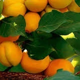
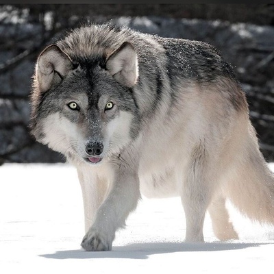
The region’s flora includes wild pistachio trees, jujube, shrubs such as Astragalus and Tragacanth, and medicinal plants like borage, licorice, chicory, fumitory, and manna. The area's wildlife consists of mountain goats, rams, ewes, gazelles, foxes, jackals, wolves, hares, wild boars, partridges, and sandgrouse.
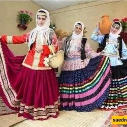
The people of Baladeh, like the rest of southern Iran, belong to the Pars (Parsus) branch of the Aryan race, which migrated from the area south of Lake Urmia to Persia and Fars around 3000 BC. The inhabitants have preserved their ethnic heritage, as seen in their dialect, traditions, and customs passed down through generations.
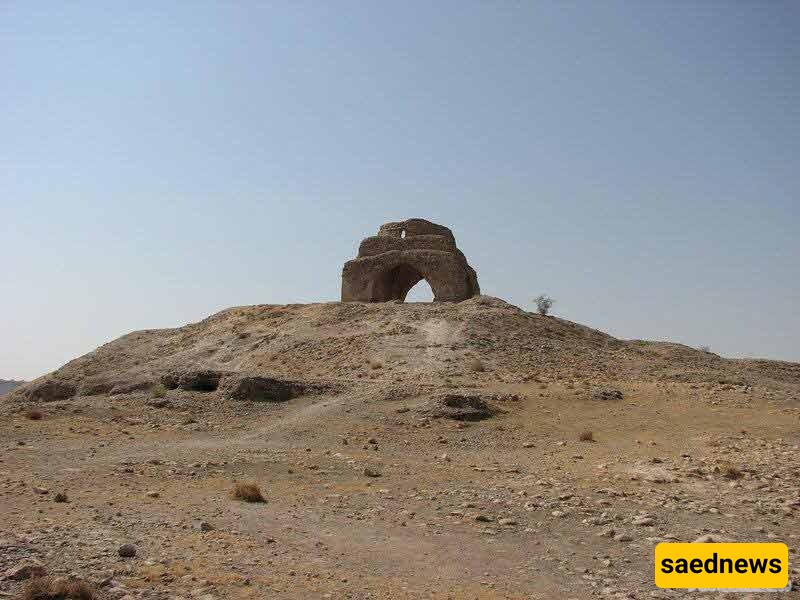
The Jereh Grand Fire Temple, also known as the Chahartaq of Jereh, dates back to the Sassanid era. It is situated on a hill near Ariashahr (Baladeh) and overlooks the ancient city of Jereh. It is one of the five fire temples built by Mehr Narseh, the minister of Bahram V.
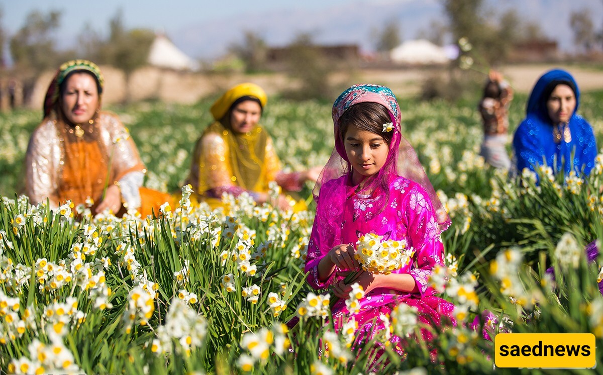
Baladeh is famous for its narcissus fields, which attract many visitors from surrounding cities every year. The high quality of its narcissus flowers makes them highly sought after and exported to cities such as Isfahan, Tehran, and even the Persian Gulf countries.
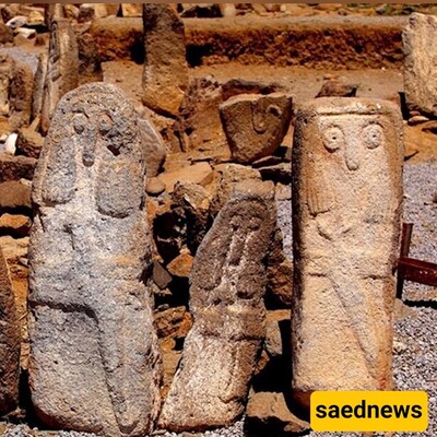
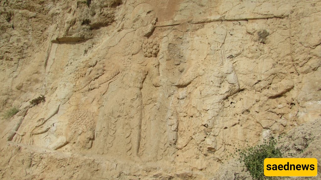
The Sarmashhad Rock Relief, measuring 4.5 meters in length and 2 meters in width, depicts Bahram II, the fifth Sassanid king, fighting two lions while protecting his wife and son. One lion is already defeated, while the other is in an attacking position.
How to Reach Sarmashhad Relief
From Kazerun, drive 40 km towards Baladeh, then take a right turn towards the villages of Dadin and Kargah. After about 2 km, passing through an uphill stretch and a narrow gorge, you will reach the Dadin area. From here, continue right for 400 meters, then turn left onto an asphalt road and continue straight for 20 km until you reach Sarmashhad. The road is winding, requiring careful driving. After entering the village, continue on the asphalt road until reaching a dirt path. Following the power lines will lead you to the rock relief.
This relief is carved on cliffs overlooking the village, west of a nearby gorge. It is positioned at about 23 meters above ground level but can be approached due to the terrain. The carving portrays Bahram II fighting two male lions—one fallen and the other being struck by the king’s sword.
The Sarmashhad Inscription is the largest Pahlavi inscription of the Sassanid era, located 25 meters up a mountainside. It measures 2.5 meters in length and 17.2 meters in width and is one of the four inscriptions of Kerdir, the high priest of Zoroastrianism. Its content resembles inscriptions found in Naqsh-e Rostam. The entire Sarmashhad area, covering around 600 hectares, is considered the largest Sassanid historical site in Fars Province.
Located 50 km from Shiraz on the Shiraz–Kazerun road, this waterfall is accessed via the Kuhmareh Sorkhi branch road. Kuhmareh Sorkhi is an ancient region in southern Fars Province, divided into three subregions: Kuhmareh Jaruq, Kuhmareh Noudan, and Kuhmareh Sorkhi. It is a mountainous, forested area forming the southernmost extension of the Zagros Mountains.